|
|
|
|
|
|
|
|

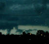
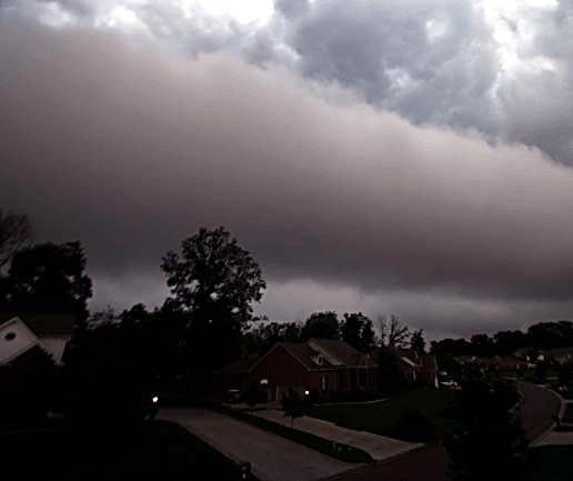
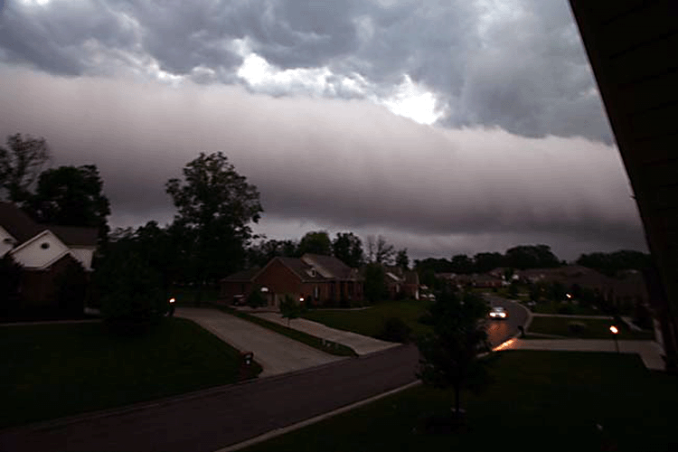
▪ 2006 Roll Cloud Paducah, Kentucky ▪
|
▪ 2006 Roll Cloud Paducah, Kentucky ▪ |

▪ 2006 Roll Cloud Paducah, Kentucky ▪ |
|
|
|
|

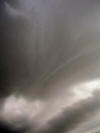
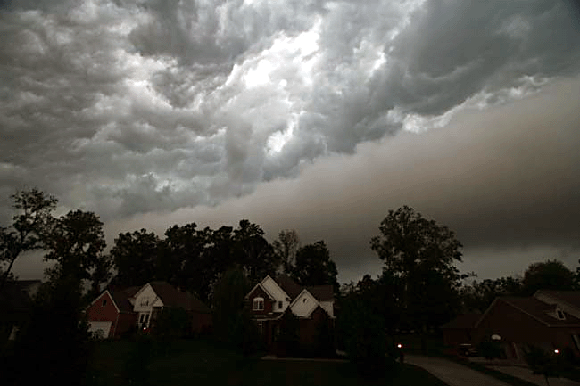
▪ 2005 Lone Oak, Kentucky Wall Cloud ▪ |
▪ 2005 Lone Oak, Kentucky Wall Cloud ▪ |
▪ 2005 Lone Oak, Kentucky Wall Cloud ▪
|
|
|
|
|

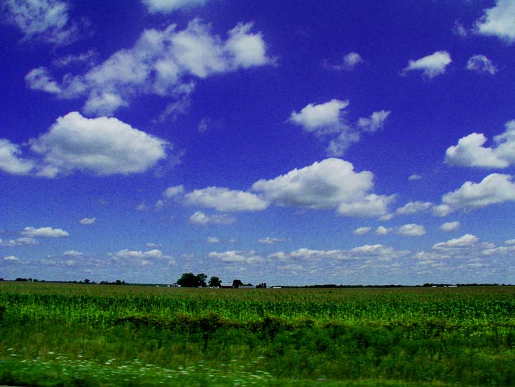
▪ Fair Weather Cumulus 2004 St. Louis, MO ▪ |

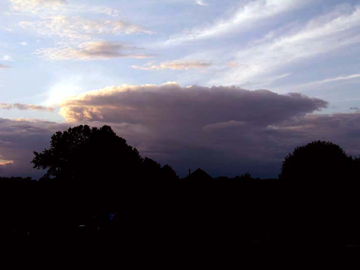
▪ July 4, 2004 Cumulonimbus Cloud - Mayfield, KY ▪ |
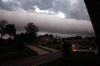
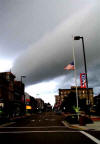
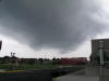
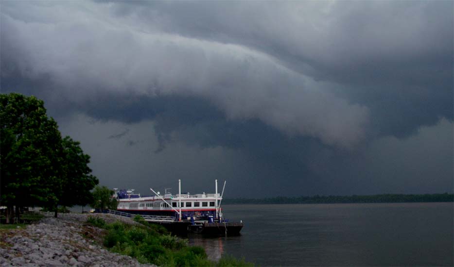
▪ June 18, 2004 Paducah, KY Riverfront Shelf Cloud ▪ |
|
|
|
|
▪ June 2004 Scud Clouds - Downtown Paducah. KY ▪ |
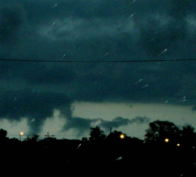
▪ June 2004 Roll Cloud - Downtown Paducah. KY ▪ |
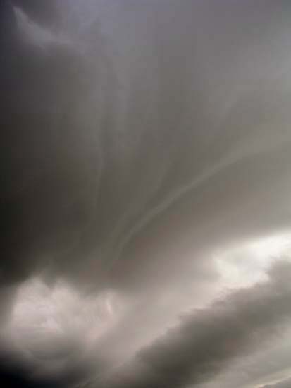
▪ June 2004 Twin Rope Funnel Clouds - Downtown Paducah. KY ▪ |
|
|
|
|
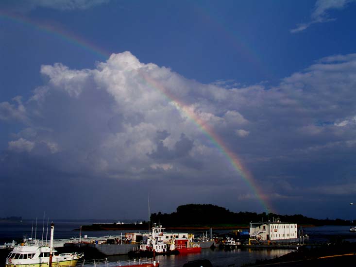
 ▪ July 10, 2004 Rainbow -
Ohio River - Downtown Paducah. KY ▪ |
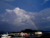
▪ July 10, 2004 Rainbow - Ohio River - Downtown Paducah. KY ▪ |

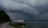
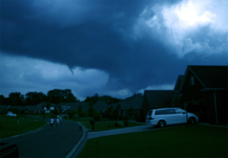
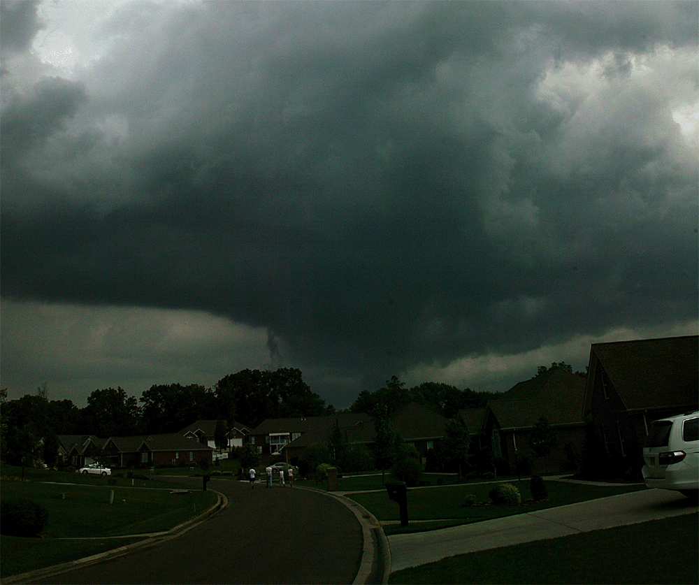
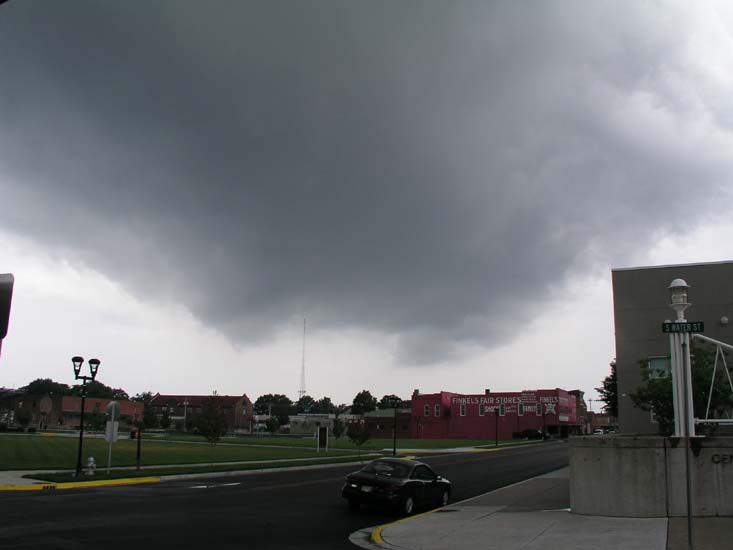
▪ May 30, 2005 Tornadic Supercell over Downtown Paducah ▪ |
|
|
|
|
▪ May 30, 2005 Tornadic Supercell over Downtown Paducah ▪ |
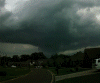
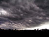
▪ July 2004 Shelf Cloud Over Paducah ▪ |
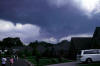
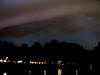
▪ July 2004 Thunderstorm Approaching Metropolis, IL ▪ |
|
|
|
|
|
Cloud Gallery 1 |
Gallery 2 |
Gallery 3 |
Gallery 4 |
Gallery 5 |
|
|
|
Top
|
Main Gallery
|
Home |


